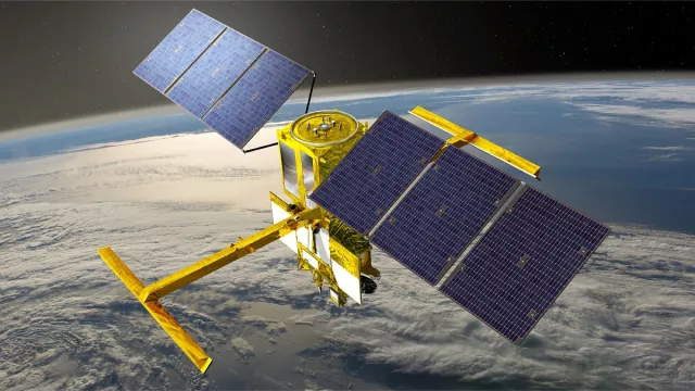
The SWOT satellite (Surface Water and Ocean Topography) was sent into orbit on 16 December 2022 by a Falcon 9 launcher operated by SpaceX from U.S. Vandenberg Space Force Base in California.
Key information
Key figures
- 250 x 250 m² : surface area of each body of water mapped
- 15-km spatial resolution
- 2,000 kg: satellite mass
- 6 instruments
Key milestones
- October 2024 : Public release of version 2 of SWOT products and start of the second complete reprocessing campaign of SWOT products since launch.
- June 2024 : Official validation of SWOT products by the SWOT Science Team.
- July 2023 : Transfer of the satellite to the so-called "science" orbit at an altitude of 890 km, with a 21-day orbital cycle. Start of the operational "science" phase on July 26, 2023. Public availability of the first products.
- 16 December 2022 : Launch of SWOT by Falcon 9
- 2021/2022 : Satellite assembly and integration, operational qualification of system
- Autumn 2019 : Delivery of French RFU, Poseidon-3 and DORIS instruments to JPL. Delivery of SWOT Control Centre to CNES.
- Mid-2016 : Start of phase C/D of development, start of satellite construction
- November 2013 : Start of phase B of development
- September 2009 : Start of phase A of development
- 19 September 2008 : SWOT programme kicks off
Project in brief
From its 891-kilometre orbital vantage point, SWOT is revolutionizing the science of hydrology with its altimeter capable of surveying Earth’s lakes and rivers.
Satellites have already revolutionized oceanography, and tomorrow they will do the same for hydrology. The French-U.S. SWOT mission is spearheading this effort, carrying a wide-swath Ka-band radar interferometer dubbed KaRIn that marks a break with today’s technologies.
With its two radar antennas perched at the end of a 10-metre boom, KaRIn affords continuous coverage of a 120-kilometre swath where current radar altimeters are restricted to a strip of a few kilometres directly beneath the satellite. Thanks to this wide ground track, KaRIn is able to acquire measurements of surface water height in rivers wider than 100 metres, as well as in lakes and flood zones covering an area of more than 250 metres x 250 metres, with an accuracy better than 10 metres, and to quantify slopes with an accuracy better than 1.7 cm/km (averaged out over an area of surface water greater than 1 sq.km).
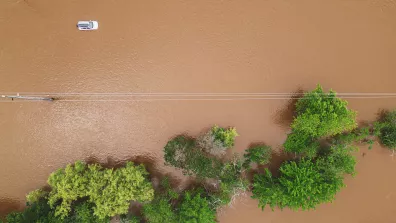
Combined with high-precision geoid models from the GOCE satellite and precise digital terrain models, SWOT data will radically improve hydrodynamic models used to estimate river discharges. They are also helping to determine temporal variations in surface water stocks—lakes, reservoirs and wetlands—and in flow dynamics. To give an idea, it’s estimated there are more than 30 million lakes larger than one hectare in the world.
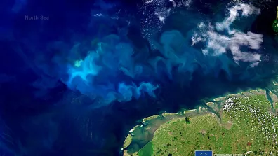
Besides hydrologists, oceanographers are also benefiting from SWOT, as KaRIn can see mesoscale and sub-mesoscale circulation patterns covering several hundred down to several tens of kilometres, like eddies and filaments, to characterize their very dynamic vertical transport, and to study coastal circulation and refine current ocean and climate prediction models, all with centimetre accuracy.
The key technical, scientific and practical innovations of the SWOT mission draw on the heritage that NASA and CNES have built together in the field of satellite altimetry over more than 20 years.
CNES’s role
SWOT is a joint mission of CNES and NASA. The two agencies are working together in numerous technical and operational areas.
Contacts
Project Leader, Exploitation
Christophe Marechal
E-mail: christophe.marechal at cnes.fr
Oceans subject matter expert
Yannice Faugère
E-mail: yannice.faugere at cnes.fr
Water Cycle subject matter expert
Delphine Leroux
E-mail: delphine.leroux at cnes.fr
Coasts, Littoral & Marine Cryosphere subject matter expert
Aurélien Carbonnière
E-mail: aurelien.carbonniere at cnes.fr
