The last decade has seen an explosion in digital data. The space industry has not been left behind, with the launch of numerous space missions in Earth Observation, Universe Sciences and Exploration. On a daily basis, these missions deliver data of impressive volume and diversity.
At the same time, computing technologies are becoming ever more powerful. Combining the two opens up unexplored and highly promising avenues. However, spatial data remains largely under-utilized. Their use is hold back by several factors such as their difficult access, their high level of technical sophistication, and sometimes the lack of consistency in data quality.
Against this backdrop, in 2022, CNES has decided to create a new dynamic around the challenges of space data, through its scientific, defense and societal uses.
A data campus at CNES
The Data Campus was created within the CNES Technical and Digital Department. Its aim is to produce high-quality data and define the associated processing to facilitate and promote the use of space missions. The word “Campus” translates a willingness to open up to the ecosystem of space data users.
Its aim is to facilitate the use of and access to space data, not only through increasingly innovative systems and processing, but also through training and communication.
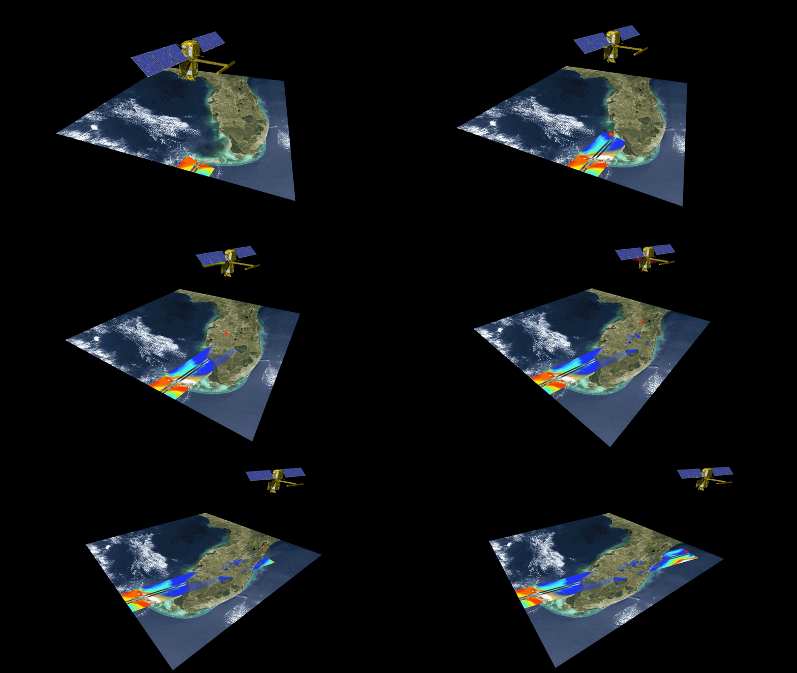
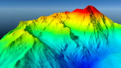
The SWOT satellite is a perfect example of the work of the Data Campus: a highly complex instrument and measuring principle, that provides simple products (water levels, river flows, etc.) that are precise, frequent and resolved, made available on an easy-to-use platform: hydroweb.next.
Who do we work for?
The Campus works primarily for CNES projects, for which it designs, produces or commissions the development of data processing and distribution systems.
The Campus is also aimed at public and private space experts, as well as users of space data: institutions (cities, regions, etc.), non-space industry and start-ups, and even defense players, for whom space observations can provide answers to concrete problems.
The Campus' expertise
The Data Campus brings together a team of around one hundred people with expertise in the entire data value chain, from research to distribution, processing and use. These activities are based on extensive expertise in digital techniques, on a good understanding of the measurement acquisition chain. The Campus researchers, who are part of the Observatoire Midi Pyrénées joint research units, and the collaboration with other CNES sub-departments (“Techniques et Performances Instrument” in particular) provide in-depth knowledge of the physics underlying observation. This synergy of skills between teams gives CNES complete mastery of space data.
The Campus contributes to space projects by participating in the definition of space missions and by developing and operating ‘mission centers’. These centers transform the ‘zeros and ones’ coming down from the satellites into qualified and localized physical products. These measurements are made available to communities via platforms that distribute space data, but also in-situ measurements or weather data.
The GEODES project is our current flagship development. GEODES is the single platform for CNES Earth observation products, complementary products and user-friendly tools. Thanks to its data-processing capabilities, GEODES is also our main tool for welcoming users to collaborate on Earth observation projects. The GEODES platform will also be made available to the Data-Terra research infrastructure.
Developing analysis models for multiple uses
In order to best extract accurate information from satellite data, the Data Campus develops data analysis models and methods in close collaboration with research laboratories.
For example, three of our services are part of three laboratories of the Midi Pyrénées Observatory at the University of Toulouse (CESBIO, GET and LEGOS).
The Campus aims to support the use of data by sharing knowledge and producing proofs of concept. A number of demonstrations have already been carried out, in close collaboration with national bodies, local authorities and private companies with little space expertise, on estimating crop yields, estimating damage to vineyards after flooding, and measuring the depth of the sea near the coast.
The Data Campus is one of the technical relays of the Connect by CNES program.
Supporting the scientific community
The Campus also plays an active role in helping the French scientific community by supporting research on the Earth System and the Sciences of the Universe, through the supply of innovative measurements and processing chains.
The Campus is also a key player in major European projects in the Science of the Universe, as illustrated by the development and exploitation of dark matter measurements by the EUCLID satellite, in conjunction with a network of European research laboratories, and the LISA project, the future space observatory for gravitational waves. The team is also helping to define the space missions of the future in order to reach new types ofobservation. Good examples are the Franco-Indian TRISHNA mission to measure water evaporation by plants, and the CO3D mission to map the world's topography at very high resolution.
4 strategic areas
Space data is a major component in meeting all the strategic challenges facing CNES:
- Using data to boost the competitiveness of the space ecosystem
- Supporting a rapidly expanding industry in the development of new uses for space data
- Providing the digital industry with unique data, algorithms and models
- Using data to maintain and strengthen our strategic autonomy
- Mastering spatial data (understanding, processing, access, etc
- Providing high-resolution data and analytics for national defense intelligence
- Ability to analyze data for space surveillance
- Using space data for scientific excellence
- Understanding the Earth System (water cycle, carbon cycle and greenhouse gases, vegetation cycle, geodesy), climate and weather prediction
- Understanding and processing data in astronomy, exploration and theoretical physics
- Committing to a sustainable world through data
- Monitoring the environment using Earth observation data
- Climate modelling and adaptation to climate change
- Reducing the carbon footprint of data provision
-
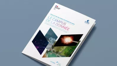
Data campus road map (in French)
The Data Campus is in charge of technical work on Earth observation data and the sciences of the Universe. A technical roadmap sets out the directions the Campus will take.
