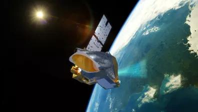
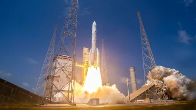
MicroCarb is already hard at work! Sent into orbit on 25 July, the small satellite dedicated to surveying atmospheric CO2 concentrations turned its sights on Earth for the first time on 28 August. This first observation was acquired above Amazonia, a critical region for the mission given its role in the carbon cycle and the sparseness of ground-truth data. It is also a region that’s hard to observe due to its dark landscapes, frequent cloud cover and the South Atlantic Anomaly (SAA), a dip in Earth’s magnetic field where energetic cosmic particles abound.
The imager makes it possible to identify cloud-free areas in the equatorial forest, where a town surrounded by forest and farmland can be seen.
The spectrometer splits the reflected light into the instrument’s four spectral bands to measure carbon dioxide (CO2) and oxygen absorption lines, which enable CO2 concentration to be estimated.
Instruments working well
These observations were derived from raw measurements, which were then calibrated using the characterizations obtained during thermal vacuum testing of the instrument at the end of 2022 and with the first in-orbit measurements (black body, internal lamp and Sun pointing). When compared to external sources (the European Sentinel-2 satellite for the imager and simulations for the spectrometer), they confirm that the two instruments are working as planned.
Fine calibration of the instrument and adjustments to processing algorithms can now therefore begin, after which calculation of CO2 concentrations will get underway.
A CO2 surveyor
MicroCarb’s mission is to measure global atmospheric fluxes of CO2, the main human-induced greenhouse gas. Quantifying CO2 fluxes is fundamental to better understand the origins and impacts of climate change. Satellite data will enable us to identify the planet’s main carbon sinks, and urban and vegetation emissions through the seasons. Developed by CNES with funding from the French government’s PIA future investment programme, this science mission is a first for Europe.